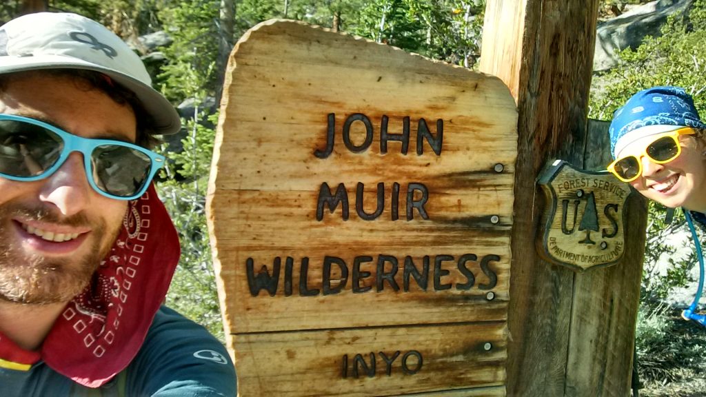
The Eastern Sierra are magical. Although Colorado is my home state, I’ve come to respect and love the Sierra. There’s a reason John Muir quotes are dropped like loose change — it’s because it’s really hard to go wrong when it comes to hikes in the Sierra. The John Muir Trail is a crowning jewel!
I’ve hiked and backpacked thousands of miles through the Sierra, and have done all of the sections of the John Muir Trail many times over. A complete thru-hike is a unique experience, but is little more than a nice backpacking trip in some of the most beautiful mountains in the world. That should not diminish it in anyway, but the JMT is a very different thru-hiking experience compared to what you might get on the Colorado Trail. Resupplies are adequate, trail towns aren’t really a thing, and trail angels are whatever weekenders you happen upon that foist granola bars upon you. DO NOT underestimate the value of an unexpected granola bar!
The JMT will foster and build experiences with those that you start the trail with. You may even form lasting friendships with new people you meet on the trail. The reason to hike the JMT, however, is because it is beautiful!
Do I need permits for the JMT?
The short answer is yes. However, there are ways to avoid using some of the more difficult permit lotteries, that will still result in a terrific backpacking experience! If you are trying to hike the JMT, you might consider starting at Red’s Meadow, and hiking through to Lone Pine, without using Whitney Portal trailhead. You can bag Whitney, but will need to return back to Guitar Lake before heading out toward Lone Pine. This will cut off a chunk of trail within Yosemite, but will eliminate the need to obtain either the Whitney permit (you camp at Guitar Lake), or the Donohue pass permit to leave Yosemite.
I’d strongly encourage hiking and backpacking in Yosemite for its own sake. It is not essential to experience the Yosemite portions as part of a continuous JMT hike to experience the beauty, spectacle, and joy of the Eastern Sierra. It is also not necessary to experience Yosemite to experience the joys of hiking the JMT. You are likely to get more mileage out of Yosemite by spending a week just backpacking around Yosemite, and not trying to obtain a Donohoe pass exit permit. Hiking from Tuolumne into the Valley is doable with backcountry permits that are likely not to compete with JMT hikers. Additionally, you can take YARTS to connect to Mammoth and continue the hike from Red’s Meadow onwards.
If you are set on obtaining a JMT permit to start in Yosemite Valley — that is definitely possible. Walk-in Permits can be had, but you’ll probably need to camp out at the ranger station starting at 2:00 AM. You can also often still obtain late-season permits in the lottery.
What do you need to hike the JMT?
- Bear Can
- Less gear than you probably think you need. My Colorado Trail gear list is overkill
- Your pack should be under 50L — truly. Try it.
- It’s a relatively short hike, with your longest resupply between Muir Trail Ranch (MTR) and Lone Pine. Figure out your bear can size and food resupply for this section of the trail. You will probably be mailing stuff to MTR, but there will be excess food there in the best hiker boxes imaginable. As such, you should pack much less food than you think you’ll need for that section.
- Resupplies are easy (without mailing anything) from Vermillion Valley Resort, Red’s Meadow/Mammoth, Tuolumne, and Yosemite Valley.
- If your backpacking weight is over 20 pounds before food and water, you may want to revise your list to further reduce what you’re bringing
Why I Navigate With a Garmin Watch
A Garmin Fenix is the best navigation upgrade I’ve made to my backpacking kit. It does four things my phone can’t.
- It sips power. The battery is tiny, so a typical power bank tops it up 10+ times. In my experience it runs about 4 whole days of solid navigation between charges.
- Built-in flashlight. The Fenix 7X (and some other Fenix models) has an LED flashlight. It’s one of the features I use most on trail.
- More time in nature. The course lives on my wrist, so my phone stays in my pocket.
- Off-course alerts. It pings you when you drift roughly 150 feet off the course. It has saved me MANY miles of unnecessary backtracking.
Garmin Fenix 7X Solar Sapphire on Amazon Read my Garmin watch review
Affiliate link: if you buy through it I may earn a small commission at no extra cost to you. That’s how this site pays for my gear-testing habit.
Garmin Courses: JMT Resupply Splits
4 Garmin courses (220 miles), one per resupply leg. Download the ZIP, import the TCX files into Garmin Connect, and send them to your watch.
Each file is one stretch between resupply stops from my plan, with the start and end loaded as named course points. I split them up because Garmin Connect chokes on whole-trail files. Northbound: starts at Whitney Portal, climbs over Mt. Whitney, and ends at Happy Isles. The middle stops are Muir Trail Ranch, Red’s Meadow, and Tuolumne Meadows.
Heads up: I hiked the JMT before I owned a Garmin watch, so I never ran these on trail. They’re built from my resupply plan, not from a course I carried. The tracks come from third-party sources, so accuracy isn’t guaranteed. Carry backup navigation, and check the course against your own maps. If a long leg won’t import, split it smaller with the Trail GPX Converter.